Flood Risk Prediction Maps

Flood Risk Prediction Maps

View Report and Geographic Atlas Details

PDF / 3.8 MB

Flood Risk Prediction Maps

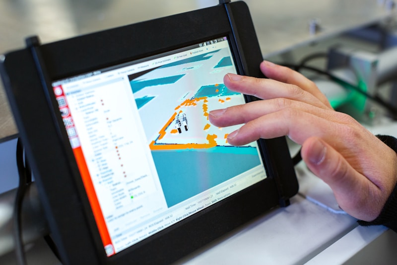
Analysis of flood-prone areas with natural drainage path identification to reduce losses.

System Capabilities

Key technical capabilities of the GIS department

Digital Maps

Production of detailed and interactive digital maps showing the distribution and quality of water resources.

Remote Sensing

Analysis of satellite imagery to monitor changes in water bodies and land use patterns.

Spatial Databases

Building and managing comprehensive spatial databases for water infrastructure and resources.

Spatial Analysis

Advanced spatial analysis to support decision-making in water resources management.

Statistics & Infographics

Quick visual summaries available for sharing and downloading

Water Consumption Distribution in Agricultural Sector

Water Consumption Distribution in Agricultural Sector

View Image
Evolution of Modern Irrigation Systems Usage

Evolution of Modern Irrigation Systems Usage

View Image
Surface Water Quality Indicators in 2023

Surface Water Quality Indicators in 2023

View Image

Keywords

Geographic Information Systems GIS Satellites Remote Sensing Water Atlases Flood Maps Groundwater
×
×