Irrigation & Drainage

Irrigation & Drainage

Studying groundwater, where the Hydrogeology and Geophysics department studies and explores the groundwater reservoir and the surface and subsurface layers using modern surveying techniques like electrical and radar (GPR) geophysical measurements. The department works on assessing productivity, water quality, and identifying the best locations for wells.

About the Department

Irrigation & Drainage is one of the leading departments in the institute

The Hydrogeology Department is one of the leading departments at the institute and mainly focuses on studying groundwater. The Department of Hydrogeology and Geophysics investigates groundwater reservoirs and both surface and subsurface layers using modern surveying techniques like electrical and radar geophysical measurements (GPR). The department assesses water productivity and quality, identifies the best spots for wells, and provides studies to protect reservoirs from pollution and salinization. It also helps prepare hydrogeological models and digital maps for sustainable water resource management to support development projects.

11

Specialized Researchers

10

Research Projects

3

research papers that received international awards

7

The projects that have been published

Projects & Research Record

A list of the most notable projects and reports completed by the department

Year
Project / Study Name
Beneficiary
2005
The project of settling the Bedouins in Northeast Sinai, the second phase, funded by the Islamic Development Bank
North Sinai Governorate
1996
Wadi Watir Development Project in South Sinai funded by the Italian Government
South Sinai Governorate
2014-2026
Hydrogeological Studies for the Evaluation of aquifers Using Numerical Modeling in the Suez Canal Economic Zone
Companies in the Suez Economic Zone at the West Gulf of Suez
2014
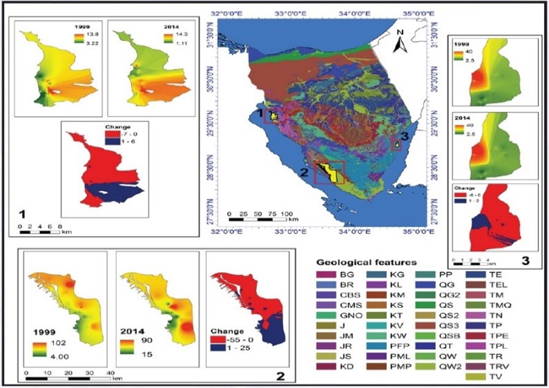
UpdatingHydrogeological Map of the Sinai Peninsula
Sinai Governorates
2019_2021
South Sinai Development Clusters Project
South Sinai Governorate

Keywords

Mathematical modeling of aquifers subsurface geophysics Hydrogeologist Aquifers recharge by harvesting rainwater and floods

Photo Gallery

Snapshots from the department's field and laboratory work

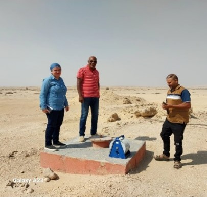
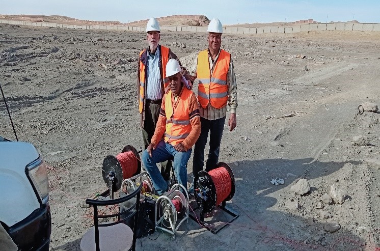
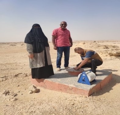
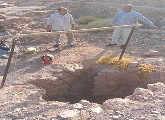
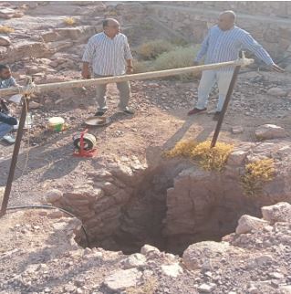
Measuring groundwater levels inside the WRRI's monitoring wells in Ain Sukhna Geophysical surveys were conducted in Wadi Bada in Ain Sukhna. Measuring groundwater levels inside the WRRI's monitoring wells in Ain Sukhna Measuring groundwater levels inside dug wells in Wadi Feiran - South Sinai (Mountain Lakes Project) Hydrogeological map of the Sinai Peninsula (Total Dissolved Solid, TDS Change)
×