إصدار خرائط تفصيلية وتفاعلية لتوزيع الموارد المائية وجودتها وتحليل صور الأقمار الصناعية لتقديم استرشاد لمتخذي القرار.
مجموعة من الخرائط والتقارير الجغرافية المعتمدة
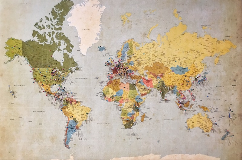
خريطة تفصيلية توضح أماكن خضر ونسب الملوحة بالخزانات الجوفية عبر المحافظات المختلفة للتخطيط المستقبلي.
تحليلات للمناطق المعرضة لأخطار السيول مع تحديد مسارات التصريف الطبيعية لتقليل الخسائر.
نمذجة دقيقة للسيناريوهات المحتملة لارتفاع منسوب سطح البحر والتأثير على الموارد والتنمية.